
Search a Danville Street by Parcel
Use the street directory as an address-record trail, not a list of everyone at an address. The City Real Estate system and MapInsights identify the parcel, its recorded owner field, and land details. The Circuit Clerk connects names to recorded instruments. A library directory can add a dated resident or business association. These sources are strongest when their dates and field limits stay visible.
- Open the Danville MapInsights viewer and search the site address.
- Save the parcel account, legal description, map number, site address, owner string, zoning, and any deed reference.
- Pan along the street or use the parcel list to inspect other parcel polygons without assuming each owner is an occupant.
- Search the owner and recording date through the Circuit Clerk’s grantor-grantee route for the land instrument.
- For an older street, ask the library for a city directory street index or reverse-directory volume, then compare it with the name index.
This sequence separates the land identity from the people evidence. It also gives a reliable fallback when a street number is abbreviated, changed, or missing from an older record.
Danville GIS Street Queries
MapInsights has prominent Search by Address, Search by Owner, and Search by Parcel ID modes. The address search uses a contains match on the site-address field and sorts results by site address. An owner query also uses a contains-style search, which makes spelling variants and narrow terms important. Advanced search exposes legal description, zoning, sale date, sale price, land use, and use code. The public configuration does not promise a complete street roster, but it supports a careful parcel-by-parcel street scan.
| Danville GIS mode | Field | How it helps a street search |
|---|---|---|
| Address | Site address | Finds parcel results with matching street text |
| Owner | Owner 1 | Checks recorded owner spelling |
| Parcel | Parcel Account ID | Returns a known local parcel |
| Advanced | Legal description | Bridges parcel and deed wording |
| Map browse | Parcel polygon | Shows adjoining parcels and layers |
A parcel result can include land use, zoning, acreage, value, sale fields, map data, and mailing fields. Those are record fields, not a statement about every household member on a Danville street.
Reading a Danville Parcel Card
Danville’s public parcel layer includes account and map identifiers, owner fields, legal description, site address, land-use and zoning fields, acreage, values, building information, and sale-date or sale-price fields. Related tables can add transfer and assessment detail. The card is useful because it keeps several parcel clues together before a deed search. Its detail can be rich without being a personal directory.
- Parcel
- A defined piece of land represented by an account and map geometry.
- Situs address
- The physical parcel location, which can differ from tax correspondence.
- Plat
- A recorded map showing lots, streets, or easements.
- Criss-cross directory
- An address-organized directory used to move from a street to dated occupants.
Keep the site address and mailing fields apart. The first locates land. The other directs tax mail and may point outside Danville. A legal description, lot and block, or map-book reference is often the better continuity key when a historical address does not match a modern street number.
Danville Street Record Sources
A complete street directory uses several address-keyed systems. Each source has a different owner and access channel. Start online when a public search exists, but use the counter, phone, or written request route when the website does not show the record class or historical period you need.
| Danville record | Keeper | Street-level value | Access |
|---|---|---|---|
| Parcel assessment | City Real Estate and GIS | Owner, site, mailing, legal, map, land fields | Public viewer and office |
| Recorded deeds | Circuit Court Clerk | Grantor, grantee, date, instrument, legal description | Index and clerk route |
| Plats | Clerk and GIS | Lots, blocks, boundaries, easements | Clerk, SRA, or map layer |
| Permits and inspections | Community Development | Address-keyed work or case chronology | Guest portal, phone, or request |
| Historic directories | Danville Public Library | Dated address and name associations | Shelf, microfilm, databases |
| Voter-list procedure | Registrar and Elections | Permitted fields under statute | Title 24.2 request process |
The parcel account and legal description link the assessment layer to a deed. A street name links the historical directory and permit trail. Neither link turns a whole-street search into a full list of residents.
Danville Street Deed Trail
The Danville Circuit Court Clerk describes land records from 1841 to the present. After finding the parcel, search the current owner as grantee near the likely acquisition date. The instrument can provide the grantor, grantee, recording date, book and page or instrument number, legal description, stated consideration when shown, and a reference to an earlier deed. Search the seller as a prior grantee to continue the chain.
The Virginia Secure Remote Access portal is the remote entry point for participating locality land records. Index availability depends on the locality, and full images require local-clerk authorization and subscription. When an image is not available remotely, use the courthouse public terminal, a clerk copy request, or Library of Virginia historical holdings. Do not fill a gap by guessing from a street number.
The Virginia SRA entry page shows the statewide land-record access route used for Danville instrument research.
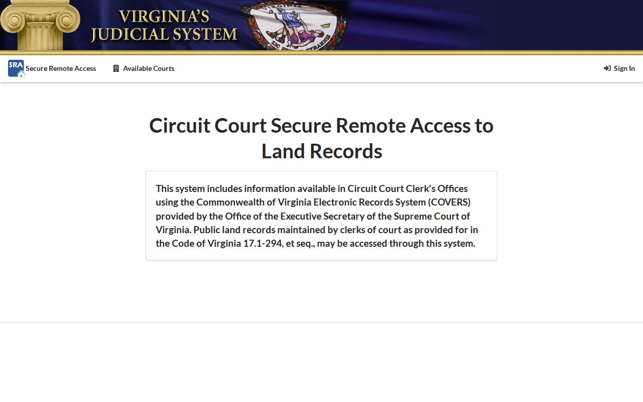
The SRA route explains why an indexed land record may lead to the clerk, not immediately to a downloadable deed image.
Note: A deed shows a recorded interest on its recording date. It does not establish that every named party lived on the parcel.
Danville Street Permit History
The city’s e-Permits portal offers sign-in, account creation, and Guest Access for applications, inspections, complaints, code cases, and plan reviews. The research did not expose a public address-result screen in the guest view. That limitation matters. When the portal does not return the needed historical detail, give Inspections the exact address and date range at 434-799-5260, or use the city’s records-request path.
Permit and code records can document work, inspections, project dates, or address-linked issues. The record fields and historic depth must be confirmed for the individual request. Code Enforcement handles categories such as overgrowth, abandoned vehicles, and right-of-way encroachments, but the reviewed city sources did not provide a standalone public code-case search.
The Danville e-Permits landing page is shown below and identifies the guest and account-access paths.
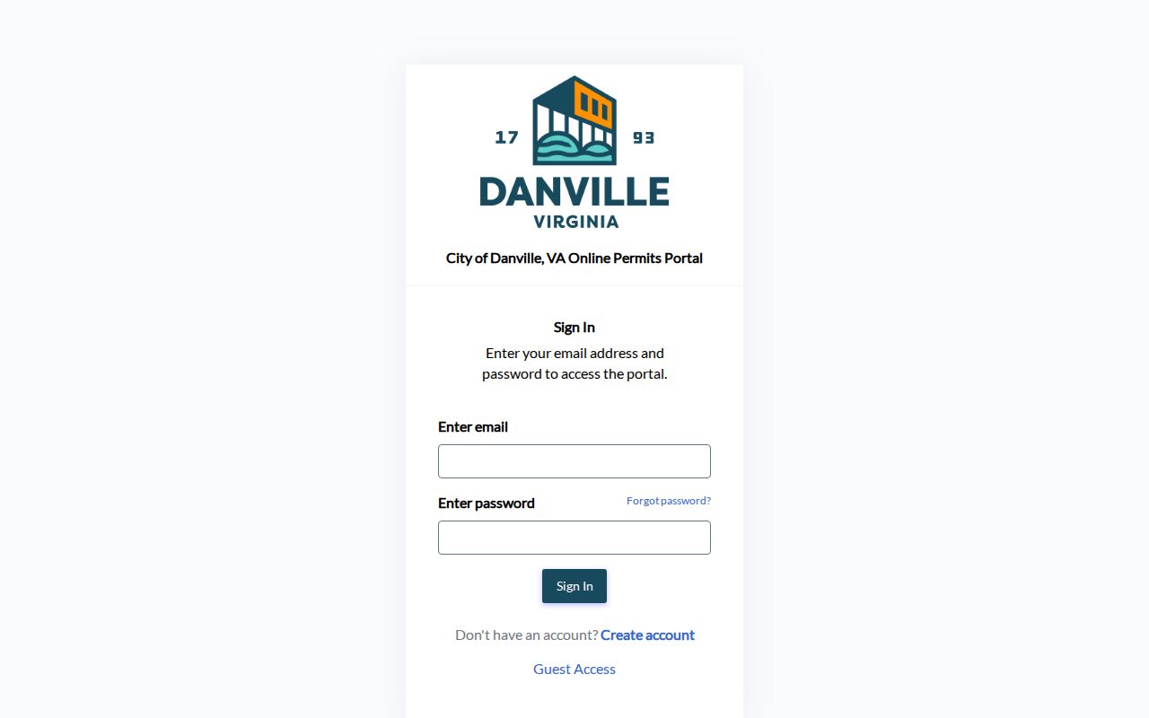
The visible guest route is a starting point for address research, while detailed results may still require a focused office request.
Danville Street Directory Years
Historical street work belongs with the library’s city-directory shelf. The DHR bibliography identifies Danville volumes from Charles Emerson in 1879, Ross A. Smith in 1881 to 1882, Turner in 1887, 1892, and 1894, Dance Bros. in 1898 to 1899, Richmond volumes in 1904 to 1907, Piedmont in 1908, Miller in 1917 and 1925, and Hill’s volumes through 1970. The library also reports a 1920 to 1978 series, although exact shelf gaps and reverse-directory years should be checked with staff.
Start in the street or address section, preserve the printed spelling and house number, then check the alphabetical name section. Capture publisher, year, page, and the abbreviation key. An entry might list a name, address, occupation, spouse notation, boarding note, or business connection, but those details differ by publisher and year.
Danville Voter Street Limits
Virginia’s Citizen Portal is designed for a voter’s own registration and status. It is not a public street roster. Public voter-list access follows the procedures and eligibility rules in Virginia Code Title 24.2. Permitted public fields can be limited by the request product, while protected voter addresses, full Social Security numbers, full birth dates, and ballot choices are not available for a street-by-street search.
Use the parcel and historical directory sources for address context first. If a lawful voter-list request is appropriate, ask the Danville Registrar about the correct process and keep the output within the statute’s use limits. A parcel owner cannot be equated with all voters or all household members at that address.
Danville Address Continuity
Danville’s 1896 annexation of North Danville or Neapolis is a key historical street-search quirk. The 1887 Turner directory explicitly names Danville and North Danville together, and Library of Virginia reels preserve North Danville council material. Search the historical locality labels where a street or family may cross that boundary. A current city label does not guarantee the old directory used the same one.
No comprehensive official street-renumbering table was located. When a number fails, compare the legal description, lot and block, former street spelling, Sanborn map, and deed reference. The legal description is the land continuity key; the number is a useful label that can change over time.
Limits of a Danville Street Directory
A public parcel card does not list all people who live at a property. The research found no public Danville utility-customer or delivery-customer dataset, and federal Driver’s Privacy Protection Act restrictions keep DMV address information from being a general public street source. Address Confidentiality Program participants, protected voters, sealed matters, and confidential victim information also require special protection.
Commercial neighbor tools may merge old public and commercial data, but they can carry stale addresses or link the wrong people. The official parcel, clerk, library, and statutory voter routes offer a better way to verify a defined fact. They also make clear what cannot be verified from public records.