
Danville Neighbors Block Sources
Each source answers one part of a block question. The Danville GIS parcel layer is the starting map. It can show adjoining parcel polygons and attributes such as account, site address, legal description, owner, zoning, and land use. The assessor mailing field is a tax-correspondence value, not proof of occupancy. Directories and Sanborn maps add history, while city project pages and organizations add civic context. None creates a complete list of everyone living nearby.
| Source | What It Shows About a Block | Access |
|---|---|---|
| Danville GIS parcel layer | Adjacent parcels, account, site, legal, owner, zoning, land use, streets, and buildings | Free public map and REST layer; click or browse results. |
| Assessor mailing fields | Tax-mail destination for an owner | Public GIS field; not proof that an owner occupies the parcel. |
| Virginia voter list | Permitted public fields at addresses, districts, and status-related data | Department of Elections request route; protected records excluded. |
| City permits and code | Address-keyed work, inspection, complaint, and plan-review chronology | Guest portal, phone, written request; no standalone public case search was located. |
| Directories and maps | Historical occupants, structures, and street context | Library, microfilm, digitized databases, UVA, LOC, and NARA routes. |
| Neighborhood organizations | Events, project contacts, and civic geography | City pages and news; no member-address directory was found. |
Property ownership and residency are different facts. The gap matters especially for blocks with rentals, trusts, estate parcels, vacant lots, or tax mailing addresses outside Danville.
Map Danville Neighbors Parcels
Danville MapInsights offers Search by Address, Search by Owner, Search by Parcel ID, and an advanced parcel search. Address searching uses a contains match on the site address; results sort by site address. Its public parcel information makes a careful adjacent-parcel process possible without pretending that nearby owners are a household census.
- Search the target site address or parcel account and open the selected polygon.
- Record account, site address, legal description, owner, zoning, land use, and map number.
- Pan to the parcel edges and click each adjoining polygon or browse the parcel layer.
- Record each adjacent account and site address, then open the same attribute path for it.
- Use geometry and legal wording to distinguish a rear lot, alley parcel, corner parcel, common area, or river-district overlay.
Where a web result lacks a field, use the public FeatureServer or ask Danville GIS for assistance. The city also offers a map-request route, support by email, and phone support for approved custom map work.
Danville Neighbors Parcel Details
Read a parcel card as land evidence. Account and map numbers help return to the right parcel. The legal description connects a lot, feet, street reference, or subdivision wording to recorded land. Zoning and land use describe parcel context. Sale fields show a transfer event where available. The address fields need the same caution: site_address is the parcel location, while mail1, mail2, and mail4 are mailing fields.
- Adjacent parcel
- A parcel that shares an edge or boundary context with the target parcel on the map.
- Situs address
- The address where the parcel is located.
- Legal description
- The recorded wording that identifies land through lots, blocks, measurements, or similar terms.
- Tax mailing address
- The address used for assessment correspondence, which can differ from the situs.
The MapInsights configuration also provides parcel, street, building, house-number, zoning, and points-of-interest layers. Use them to understand the block’s physical layout, not to fill in names not contained in the public record.
Danville Neighbors Voter Records
The Virginia voter information portal is designed for a voter’s own registration, polling-place, district, absentee-status, and voting-history workflow. It is not a public name search for a block. A separate voter-list request process controls public-list access. Under Va. Code §24.2-444, a public list can include name, address, year of birth, gender, and election districts, subject to exclusions and eligibility or product procedures.
Full Social Security numbers, day and month of birth, protected voter addresses, and other protected information are excluded. Virginia does not register voters by party, and the records do not reveal ballot choices. The Danville Registrar maintains the local office route; Danville has 16 precincts, but precinct lines and ZIP codes are not interchangeable.
Note: A permitted voter record is an administrative snapshot, not proof of every occupant at a Danville address.
Danville Neighbors Civic Geography
A neighborhood name is useful for local context but is not a parcel boundary. The city’s 2022 strategy material identifies 62 neighborhoods within 15 census tracts and 37 block groups, and says a neighborhood can cross more than one tract. Downtown, Old West End, The River District, Warehouse District, Westmoreland, and White Rock are examples of civic names that should not be translated into a single ZIP or a fixed set of adjacent parcels.
The Danville Neighborhood Park Projects page is shown in this source capture.
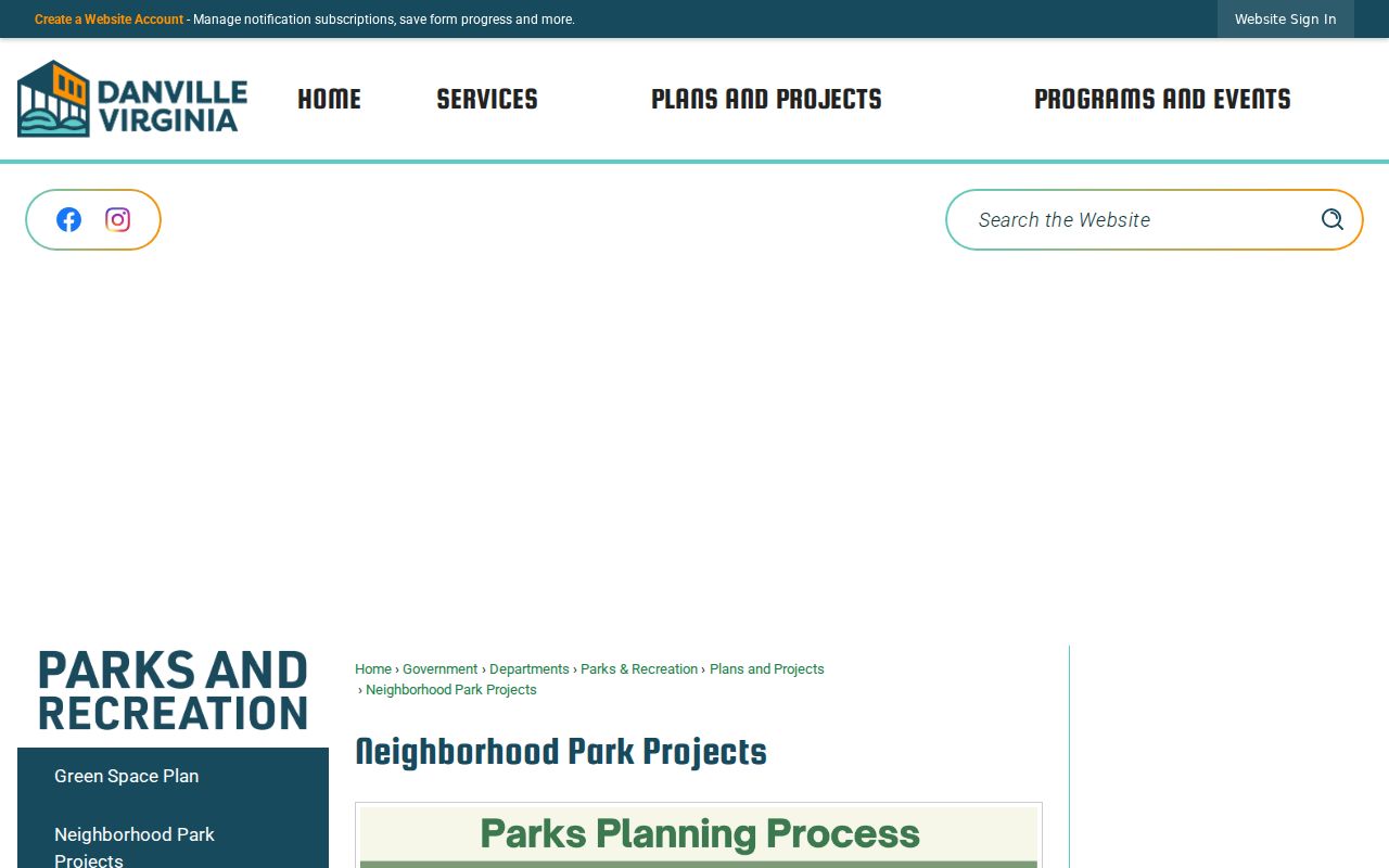
The project page identifies local place clues, including Third Avenue, Doyle Thomas, Ballou Park, and Westmoreland work. These projects help place a parcel within community activity, but they do not supply a list of residents.
Danville Neighbors Community Contacts
Public civic contacts are a useful way to understand how people organize around a block. They are not address directories. The city reported that the Westmoreland Neighborhood Organization began as a social club in 1990, became a nonprofit in 1994, and has worked on Westmoreland Park in a historic African American neighborhood. The organization’s public story offers local history without establishing membership at any parcel.
Community Improvement Council
All Danville residents may participate. Meetings are scheduled for 5:30 p.m. on the first Tuesday in January, March, June, September, and December at 540 Holbrook. The city lists two-year terms and a public contact route.
Neighborhood Oriented Policing
Danville’s program has assigned staff across four city sections since 2021 for geographic responsibility, problem-solving, and community consultation.
Neighborhood Development Corporation
Danville NDC describes resident and neighborhood-association engagement in White Rock, Westmoreland, and DCC/Cardinal Village. No public member directory was located.
For public-board participation, the city boards and commissions route offers applications and meeting information. It should not be used to infer a person’s home address.
Danville Neighbors Source Comparison
Official rolls and commercial neighbor-lookup categories serve different purposes. A commercial service may combine public and nonpublic material, but its inferred links can join the wrong people or retain stale addresses. Official Danville and Virginia sources have narrower fields, stated custodians, and defined access rules. The limited official record is often the better verification tool because its source and date can be recorded.
| Official source route | Commercial neighbor-lookup category |
|---|---|
| Identifies a particular parcel, record type, and custodian; shows only fields made available through that route. | May infer a connection across datasets; often lacks a clear parcel, date, or source chain. |
| Supports a check against GIS, clerk, registrar, library, or city records. | Can merge people or carry an old address forward without a local record check. |
| Has statutory and privacy limits. | Does not remove the need for lawful use or independent verification. |
Danville Neighbors Privacy Limits
Renters and other non-recorded occupants are not listed by the assessor as a full household. Utility and delivery-customer lists were not identified as public city datasets. DMV address information is restricted by federal law. Virginia Address Confidentiality Program participants, protected voters, sealed matters, and confidential victim information have additional protection. Those limits are part of an accurate Danville neighbors search, not gaps to work around.
For an address-specific city record, the Danville e-Permits portal offers guest access and account paths for applications, inspections, complaints, code cases, and plan review. Detailed public historical result fields were not observed, so a specific address and date-range request may be needed.
Danville Neighbors Block History
Earlier occupants require a historical layer. Danville directories can place a person at a printed address for a particular year, and Sanborn maps can show a building or block at a particular map date. The Danville Public Library genealogy resources provide directories, microfilm, newspaper material, and assistance; the Danville digital newspaper archive covers digitized collections from 1866 to 2015. Use them as dated evidence.
North Danville and Neapolis were annexed in 1896, so a historic block can appear under a different locality label from a current parcel. The 1887 Turner directory explicitly joins Danville and North Danville, and Library of Virginia microfilm has North Danville council material. Retain the printed locality and street spelling, then test it against the parcel’s legal description or Sanborn context. An old name is a research lead, not a reason to assume the modern block match.
Permit and code records can add address chronology, but the public guest portal did not expose a complete standalone historical case search. The city says its e-Permits system covers applications, inspections, complaints, code cases, and plan review. A precise Danville address and date range is more likely to yield a usable request than a broad question about everyone on a block.
For a full named-street chain, the Danville street directory follows parcel and address records beyond the immediate block. Keep the block map focused on adjoining parcels and civic context.